In the next few posts, I’ll be detailing my recent 3-day excursion to the Adirondacks High Peaks region operating a total of 6 summits. I will detail my gear, the summits, the trails, contacts, and takeaways. It was a memorable trip devoted to mountaineering and, of course, amateur radio.
The Summits
While the High Peaks has several key summits, only a few make the cut for a qualifying SOTA summit. The ham summits conquered on Day 2 were:
Basin Mountain
We summitted Basin early in the morning and made it to the top before even 6:45 eastern. The summits were much less difficult than the previous day but still required scrambling nearly all the way up. I ran my antenna through the trees North-South and was able to latch a few HF contacts.
Surprisingly enough, my keyer broke here. With a few simple menu options I changed my paddle option to a straight key and used the straight key the rest of the way!
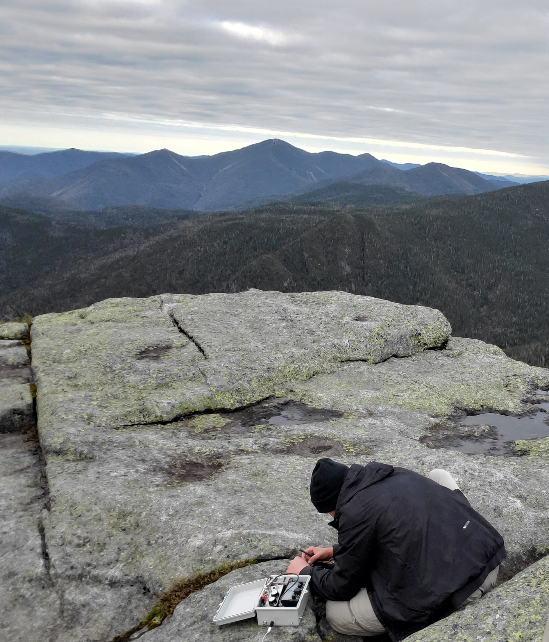 Operating on Basin. It was cold so early!
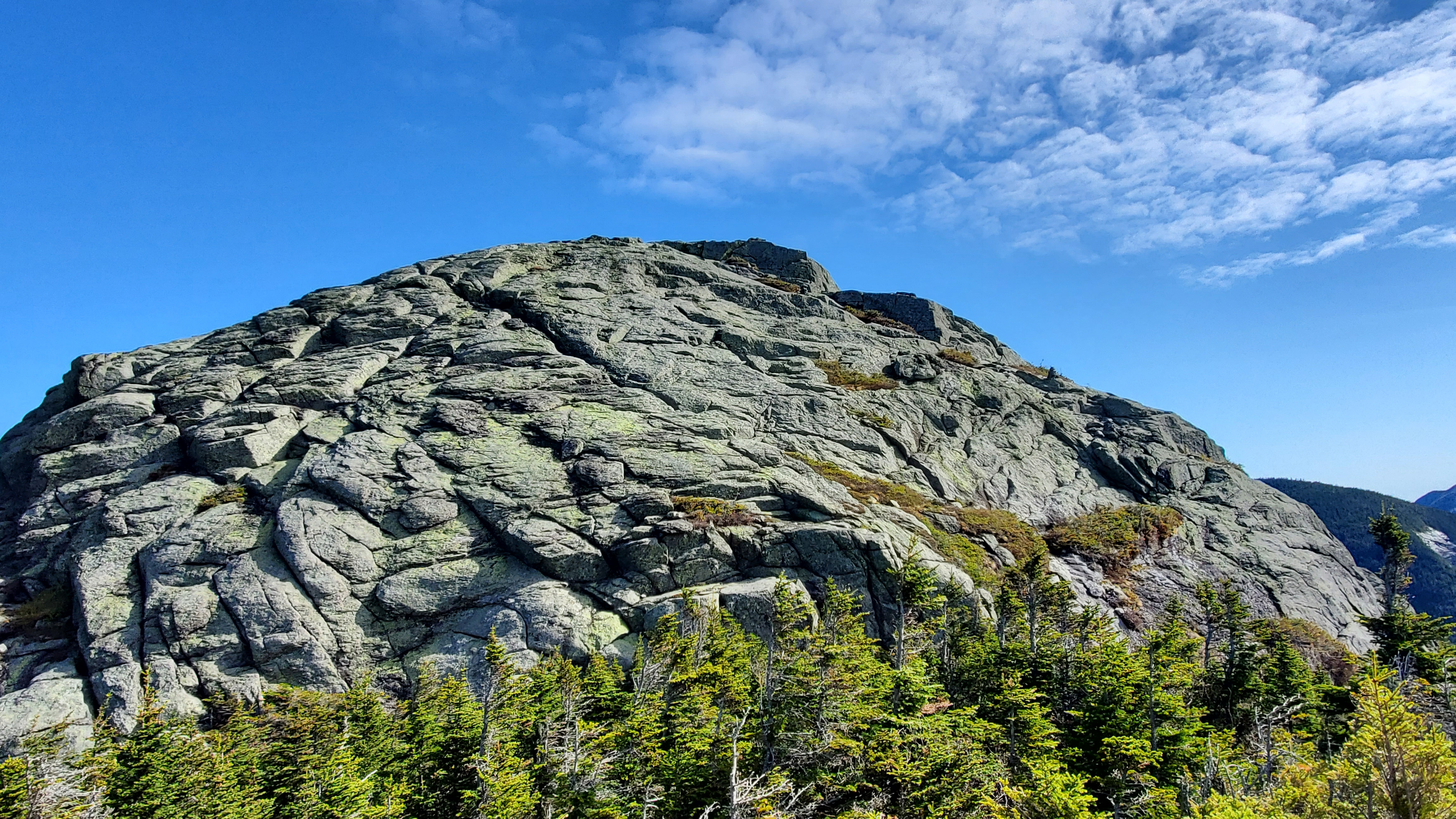
Mount Haystack
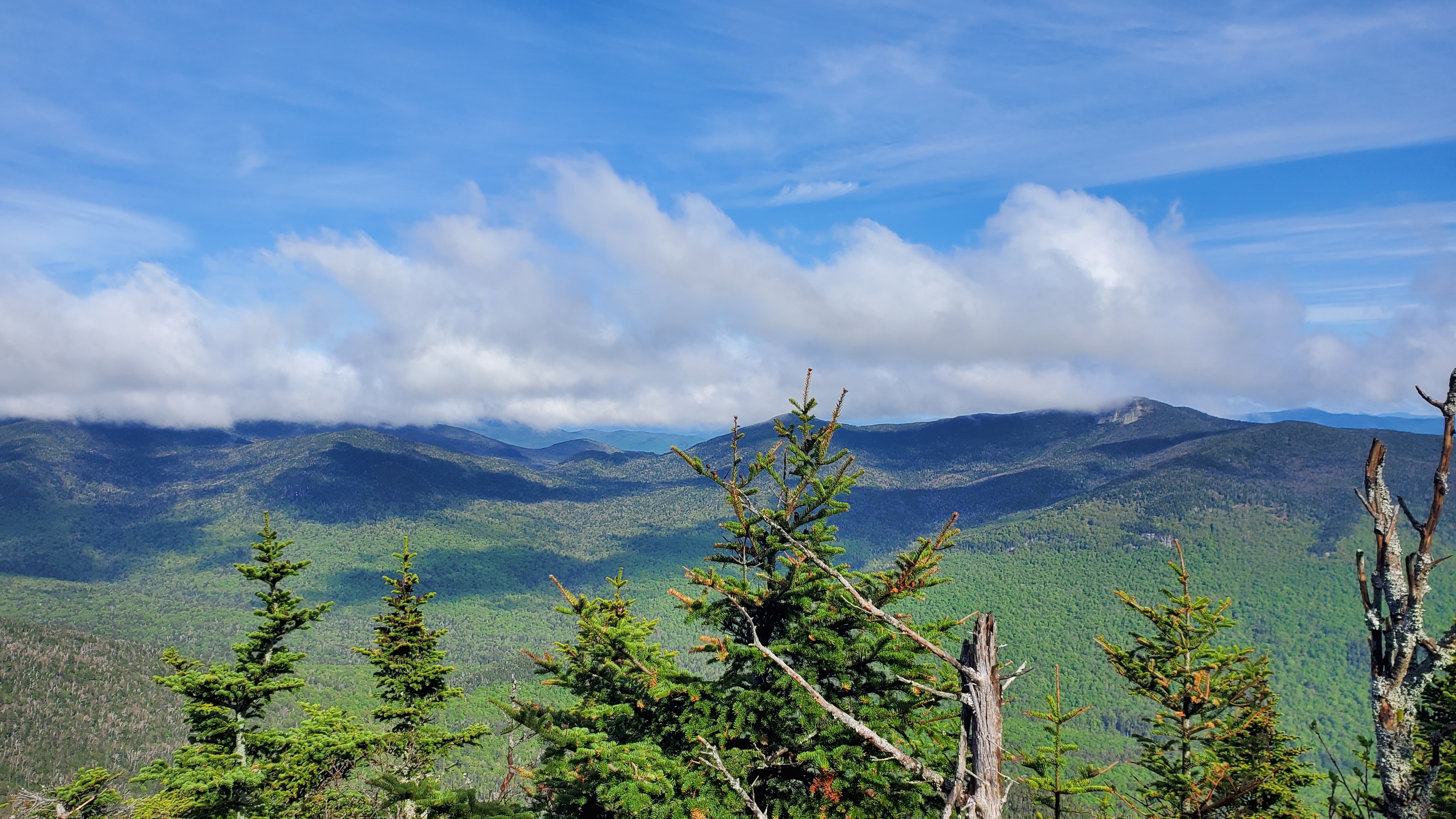
Haystack was probably our agreed favorite of the whole trip. The summit was slightly easier (just class 3) but had great exposed routes. Clearly marked cairns helped lead the way. Traveling down Little Haystack gave us some interesting elevation while letting us see the peak the entire time.
 Haystack viewed from Little Haystack
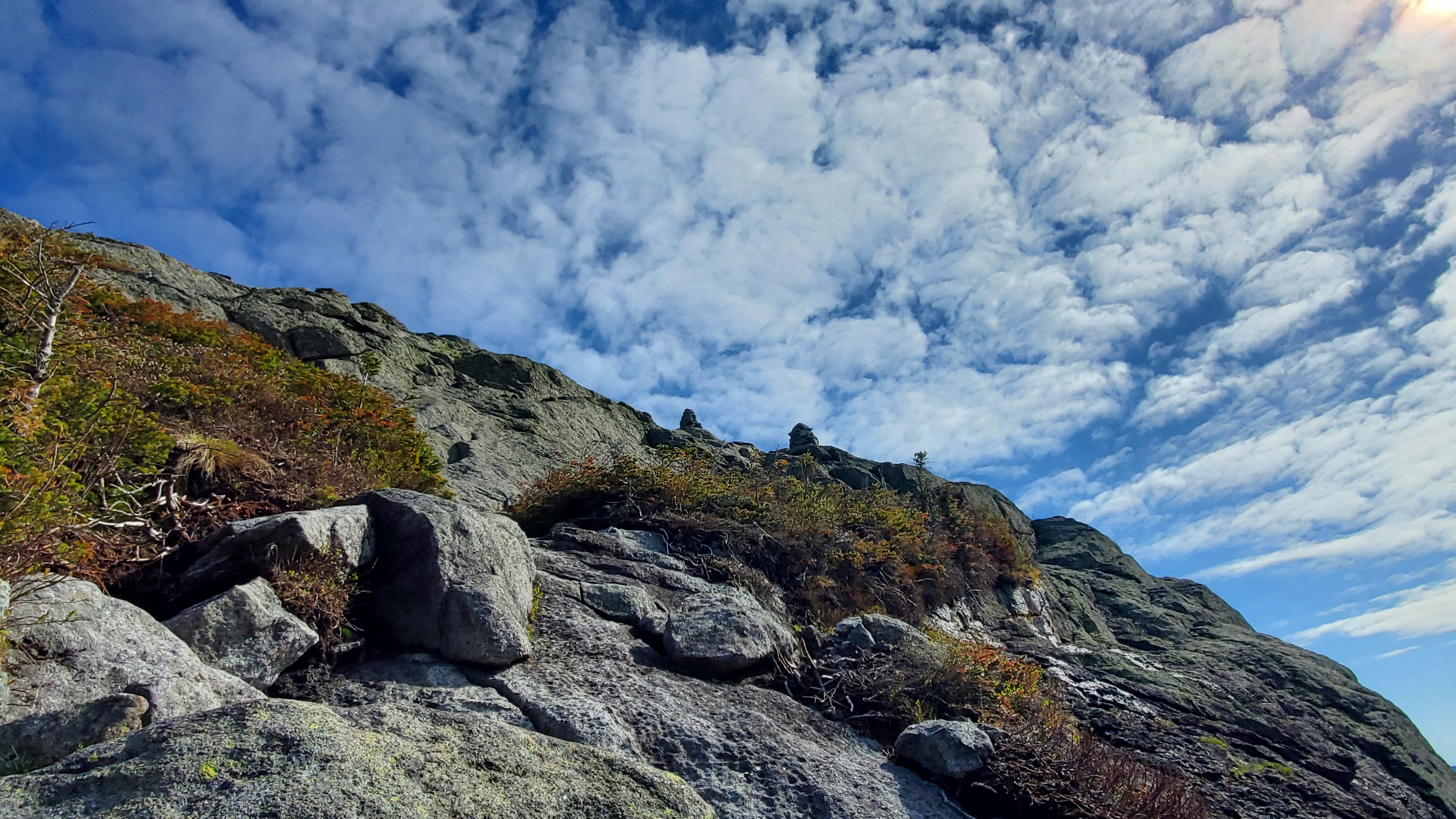
 Two such cliffs on Haystack that we navigated down. These were one of the easier parts. Zoom in - those are full-size trees!
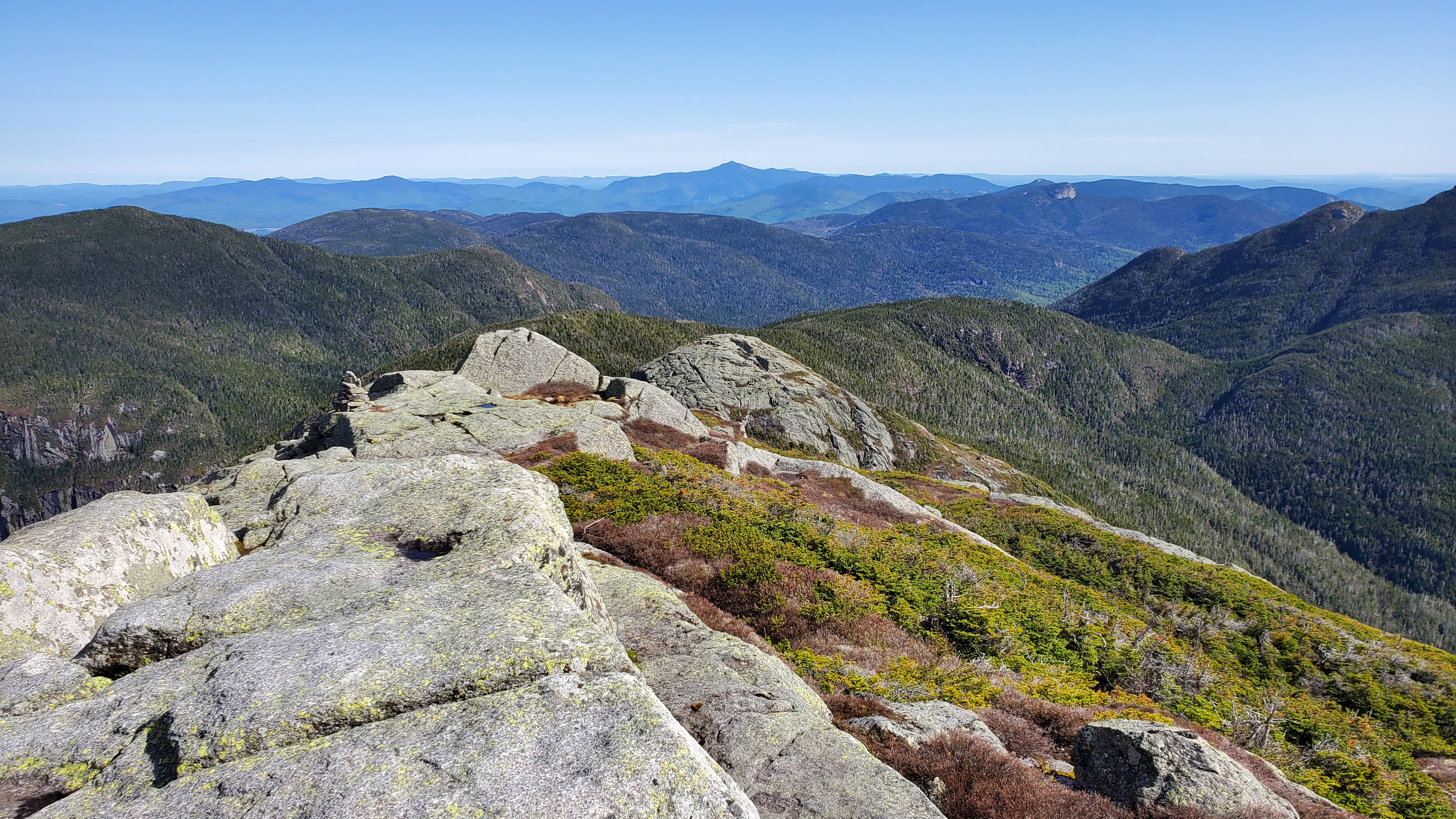 Views from the Top
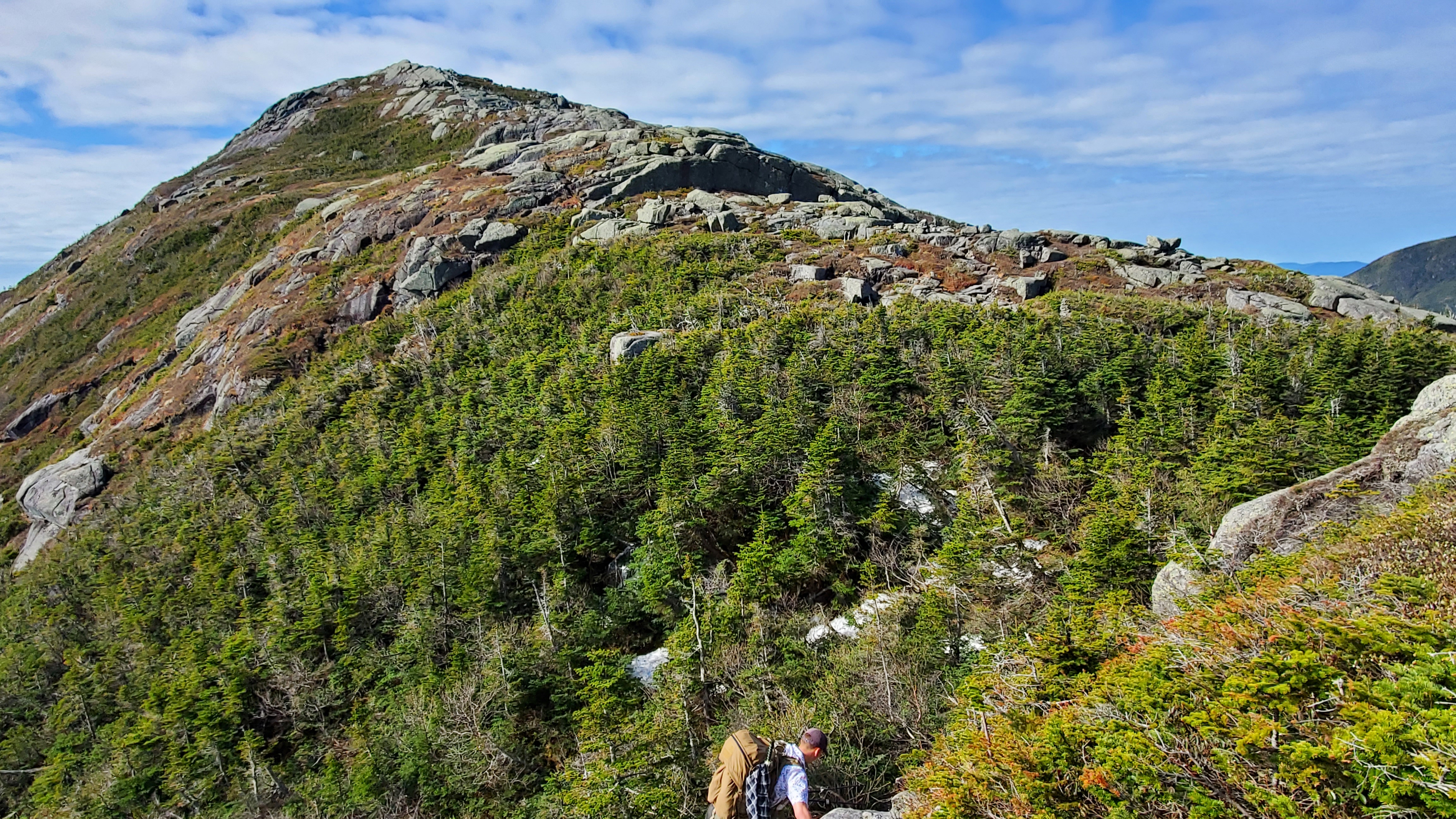
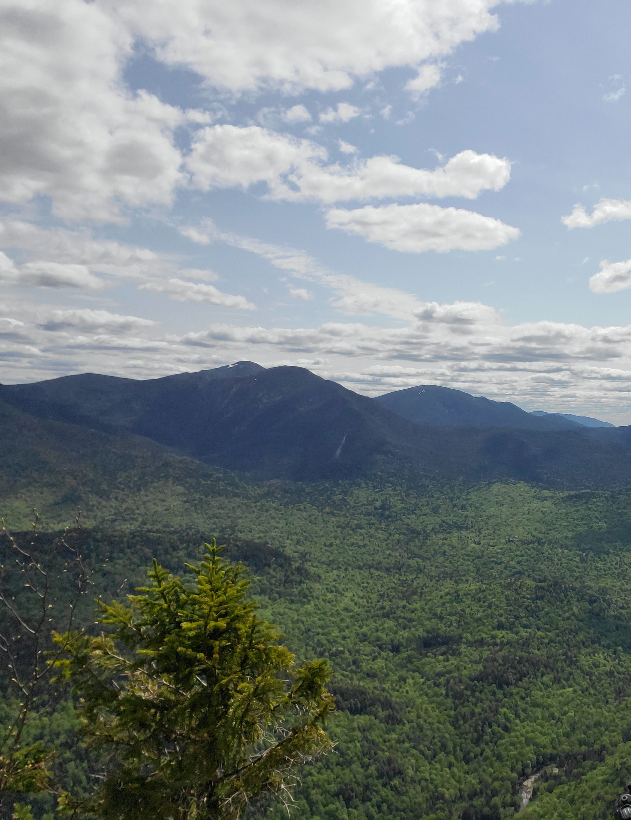
Mount Colvin
After a long break climbing out of the High Peaks region through the Adirondacks Mountain Reserve, we reached the base of Mt. Colvin. We traveled back through HP wilderness on a trail nicknamed the “Elevator Shaft.” This wasn’t as exposed and I’d rate it class 2 with some interludes of class 3, but it was a long, humid, strenous ascent. The summit had black flies and disappointing radio contacts. Oh well, we bagged it anyway and kept moving.
 Colvin Peak
The Excursion
From Day 1
Below is repeated information from Day 1 that has information on technical mountaineering. Bears repeating.
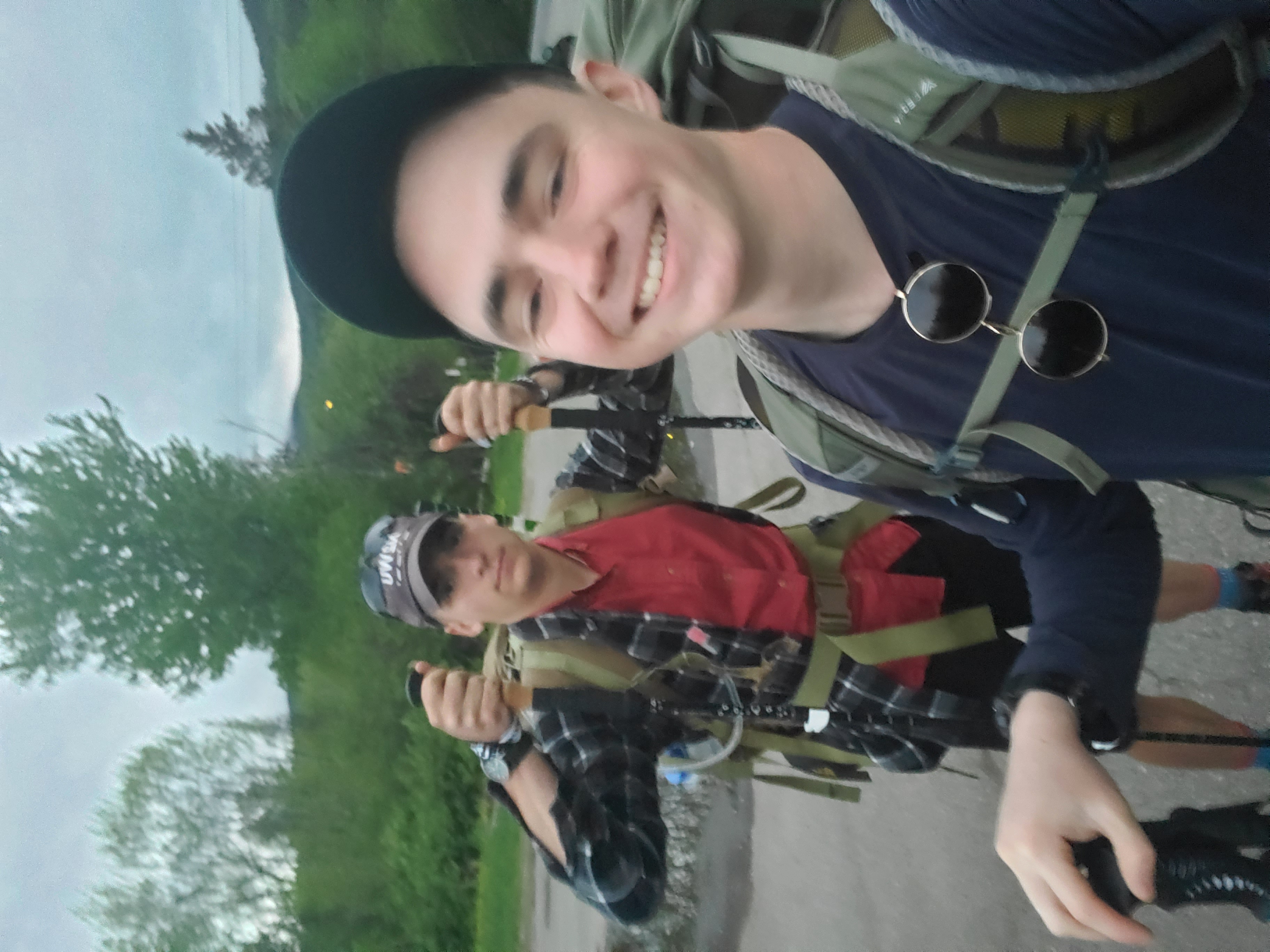 Starting from the Rooster Comb Trailhead with Caleb KD2VTB
This was a 3-full-day backpacking trip. I used Caltopo to map out our daily travel and calculate our elevation change. In total we had 12,000ft of elevation over three days!
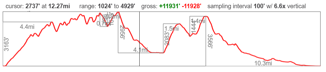
Each of the summits is reachable by a NY DEC trail, but don’t let the word “Trail” confuse you. I rate the first day of travel at a solid class 3 using the Yosemite Decimal System. Meaning, “Scrambling with increased exposure. Handholds are necessary. A rope could be carried. Falls could easily be fatal.” .
We did have plenty of exposed scrambling - hands and feet up rock faces where falls could be fatal. Many online guides exist for how to navigate up these holds, and I found the REI Guides had citable information that held up where it mattered. I had sturdier mounteering boots with thick rubber soles and fared a little better than my trailmate with merril boots.
New on Day 2
Day 2 saw our first foray into the Adirondacks Mountain Preserve. We were able to gain a fair amount of distance quickly due to how well-maintained and flat the trails were. Of course, this meant another long ascent upwards but was a rewarding break. I would recommend being familiar with what territory your route crosses before entering - for example, this route meant we couldn’t stop to camp or cook food.
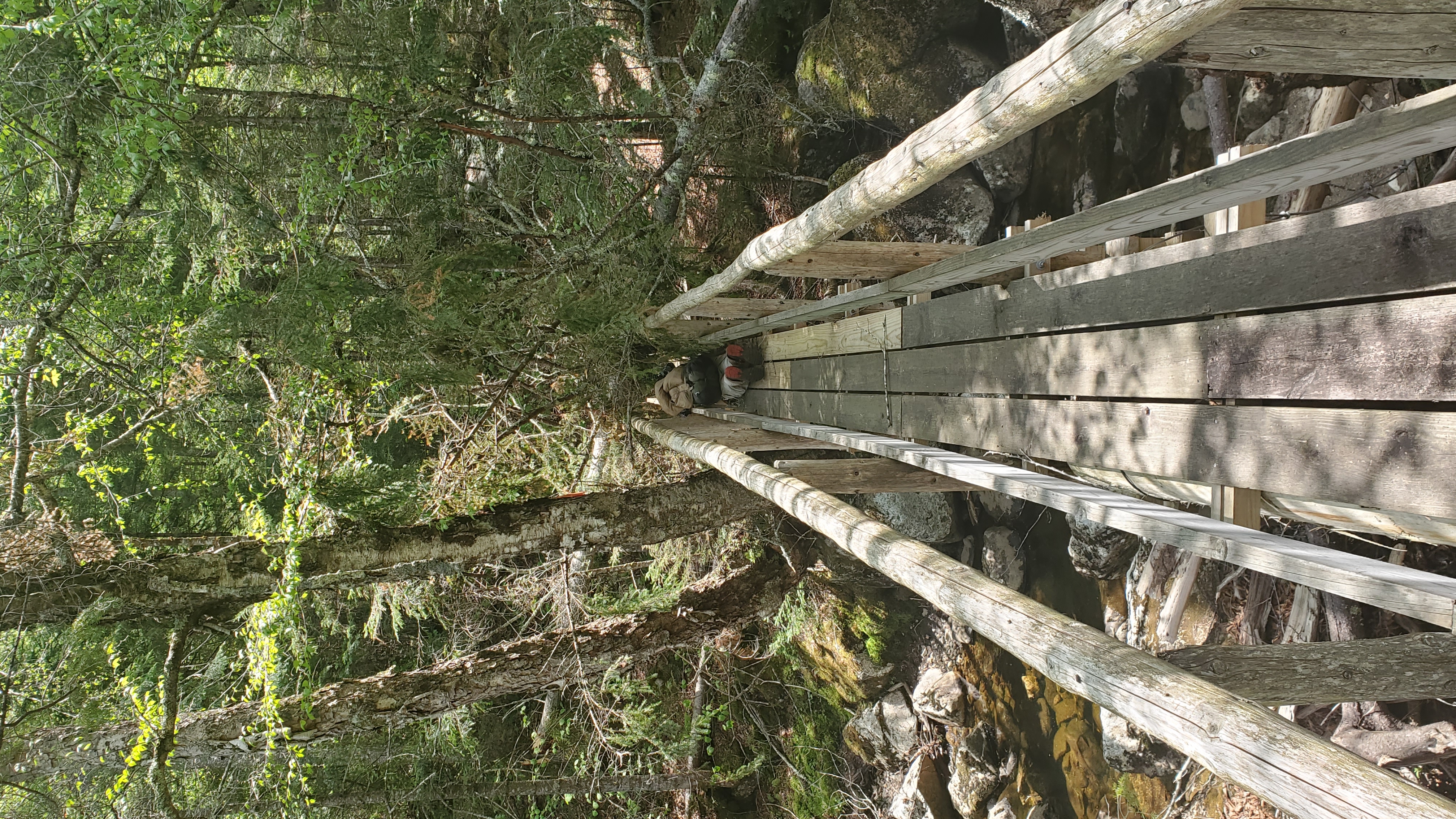
The bridge was also blocked by a downed tree, making an interesting experience for me and my large rucksack:
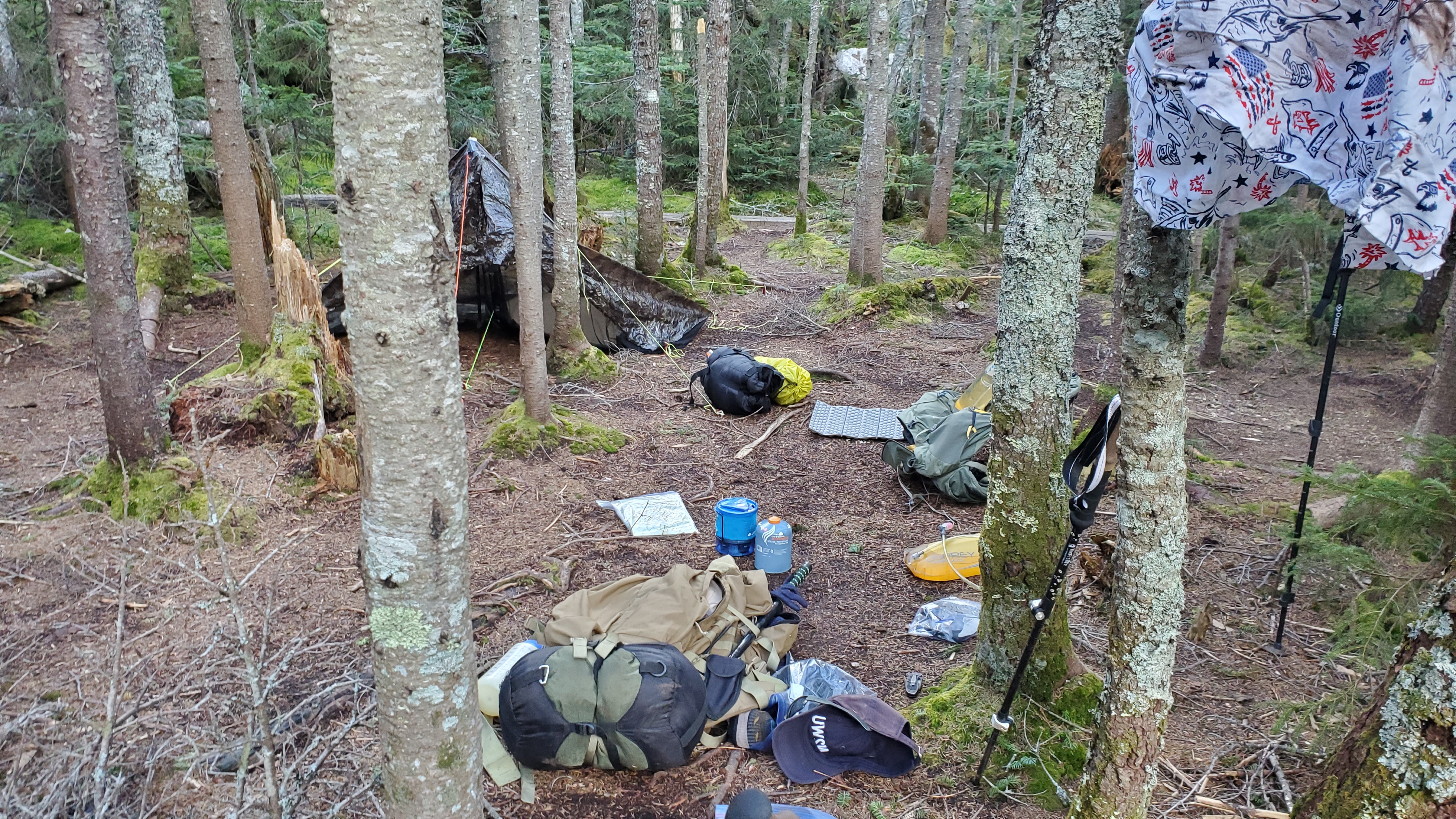
Eventually past Colvin we stayed in the HP wilderness and set up a camp in the primitive campsite area. Great land right next to water. We still did a bear bag just to be safe.
The Equipment
Because this was a backpacking trip over three days, we had plenty more equipment:
Camping Equipment (Repeat from Day 1)
These items mimic the standard 10 Essentials
- Instant Oatmeal, Foil Tuna, Boil-in-Bag Rice, and backpacking snacks
- First Aid kit including emergency shelters and ponchos
- Several layers including warmth (wool flannel) and wind/rain (rainjacket)
- Tent - we may have had this or an off-brand version
- Iodine tablets for water with a 3L bladder - this is a superb way to go. We didn’t even taste the iodine.
- A JetBoil for hot food
- Black garbage bags for bear / rodent protection
- Toiletries - toothpaste, sunscreen, bug spray, deodorant
- Sleeping bag and pad
- Map and compass
We brought only basically what we needed to keep light. I used an old version of the Mystery Ranch SATL Ruck which had the added bonus of a Radio Pouch which kept everything secure and high on my back.
Ham Equipment
I kept with my normal lightweight-ish setup:
- The N2WU Case-X2
- N2WU Key
- N2WU EFHW
- N2WU Mast
- CW paper and pen
- APRS-Enabled TH-D72A
Unfortunately the TH-D72 will have to disappear soon as I had to return it to the club. The Case X2 and key will also be getting an upgrade since they are just a little bulky and prone to failures. The key actually broke mid-operation on day 2 so I had to turn it into a straight key with the sideswiper functionality.
The Contacts
I had solid prop on Day 2 later in the afternoon, so I had to supplement with some VHF contacts on 146.52. I don’t display them because they don’t take much effort and don’t give useful prop information.
Basin Contacts
| Callsign | Band | Time | Location |
|---|---|---|---|
| F4WBN | 20M CW | 1035 | France |
| K5TX | 20M CW | 1040 | San Antonio |
Haystack Contacts
Good prop into central/southeastern US!
| Callsign | Band | Time | Location |
|---|---|---|---|
| NE4TN | 20M CW | 1324 | Tennessee |
| W5GDW | 20M CW | 1324 | North Carolina |
| KF9D | 20M CW | 1325 | Illinois |
| W9MRH | 20M CW | 1326 | Indiana |
| K2JB | 20M CW | 1327 | North Carolina |
| N4LAG | 20M CW | 1329 | North Carolina |
Colvin Contacts
| Callsign | Band | Time | Location |
|---|---|---|---|
| F4WBN | 40M CW | 1929 | France |
| W0MNA | 40M CW | 1930 | Kansas |
| W0ERI | 40M CW | 1930 | Kansas |
Conclusion
This was the middle and toughest part of our journey. I’m glad we could navigate through the High Peaks and out to safely without any injuries.
-N2WU