Introduction
I am glad to report my second successful SOTA activation of South Boulder Peak W0C/FR-075. In this post I will detail my summit up, my activation, and future plans. Lace up and continue reading!
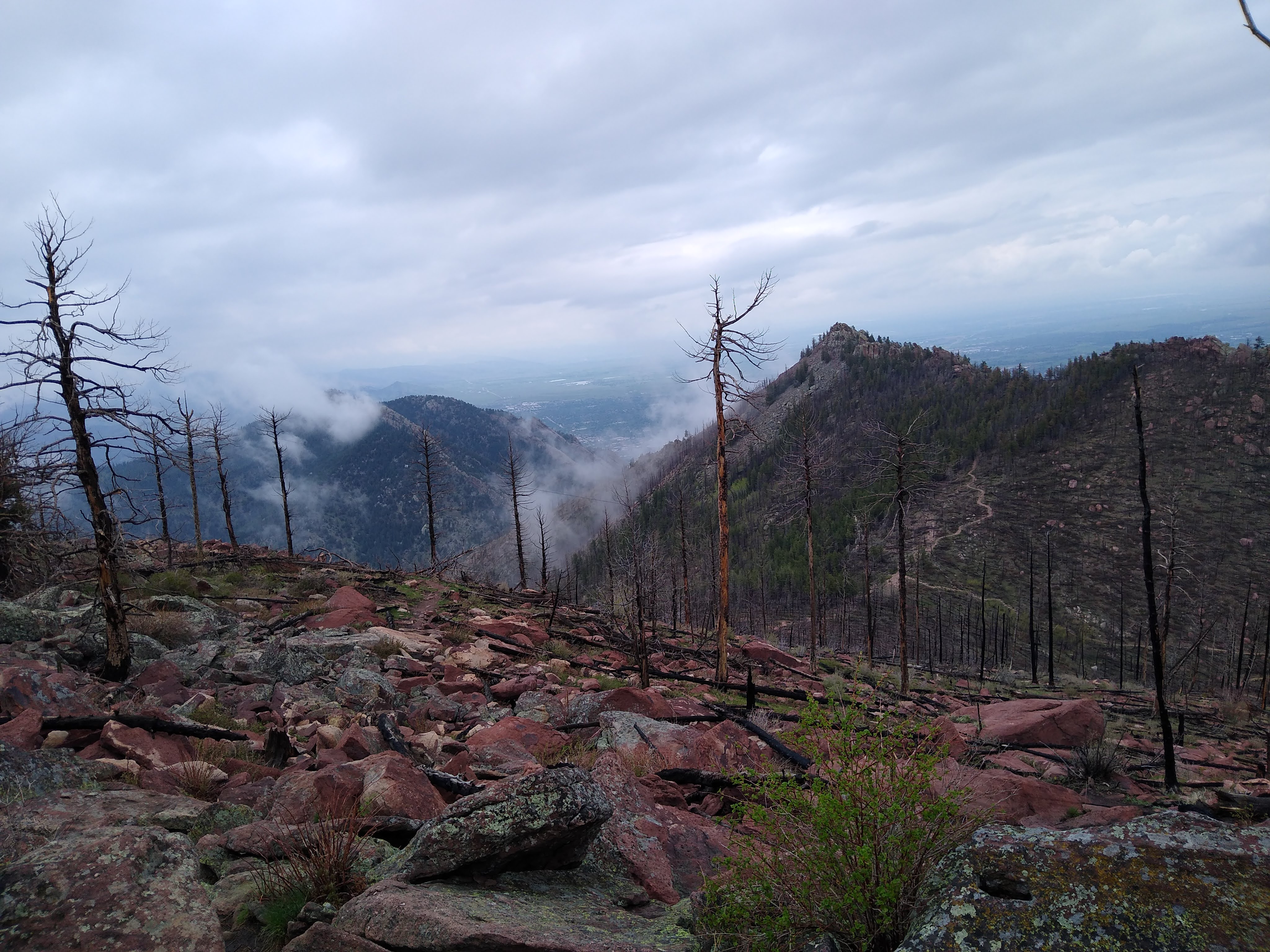
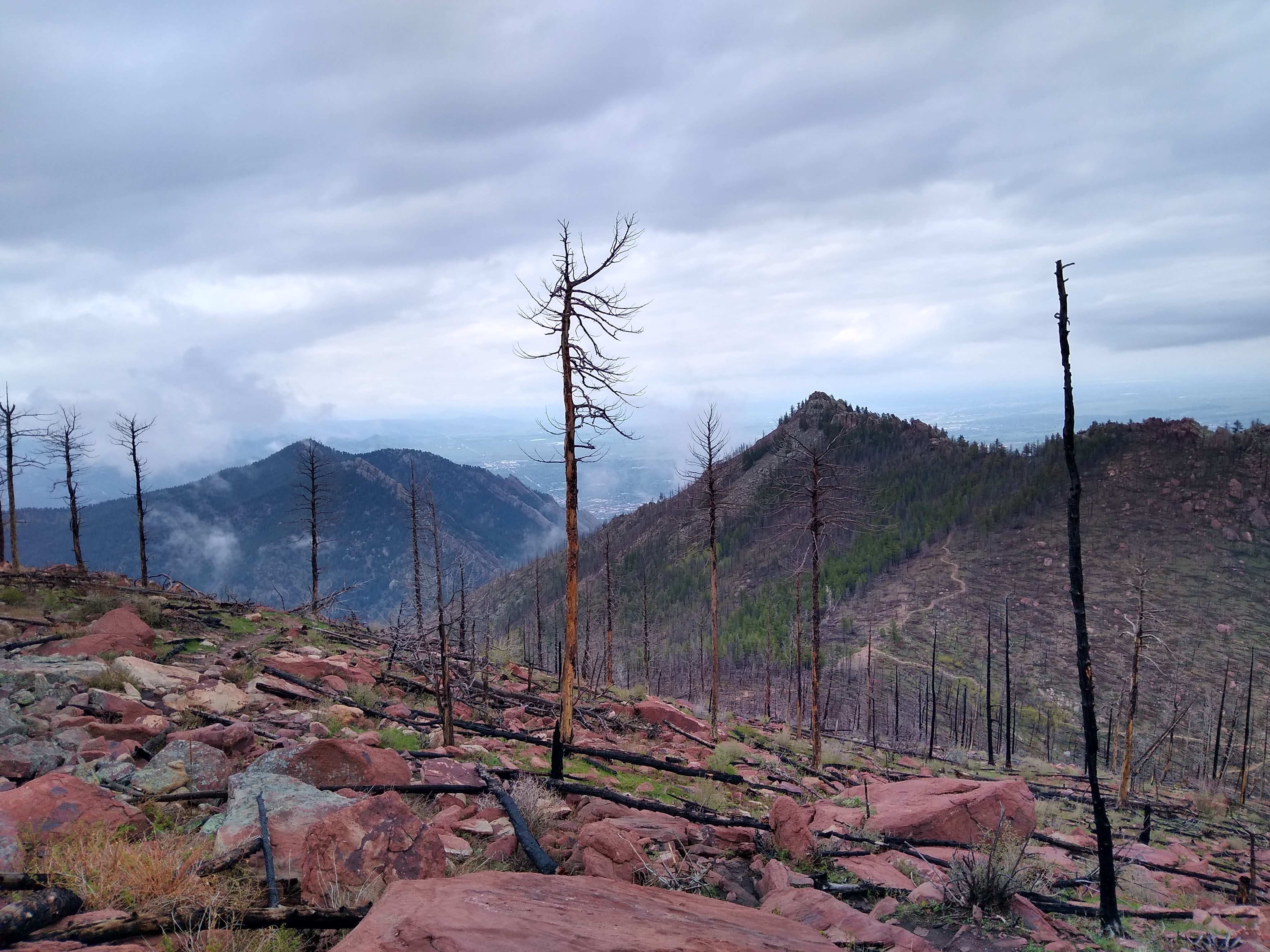
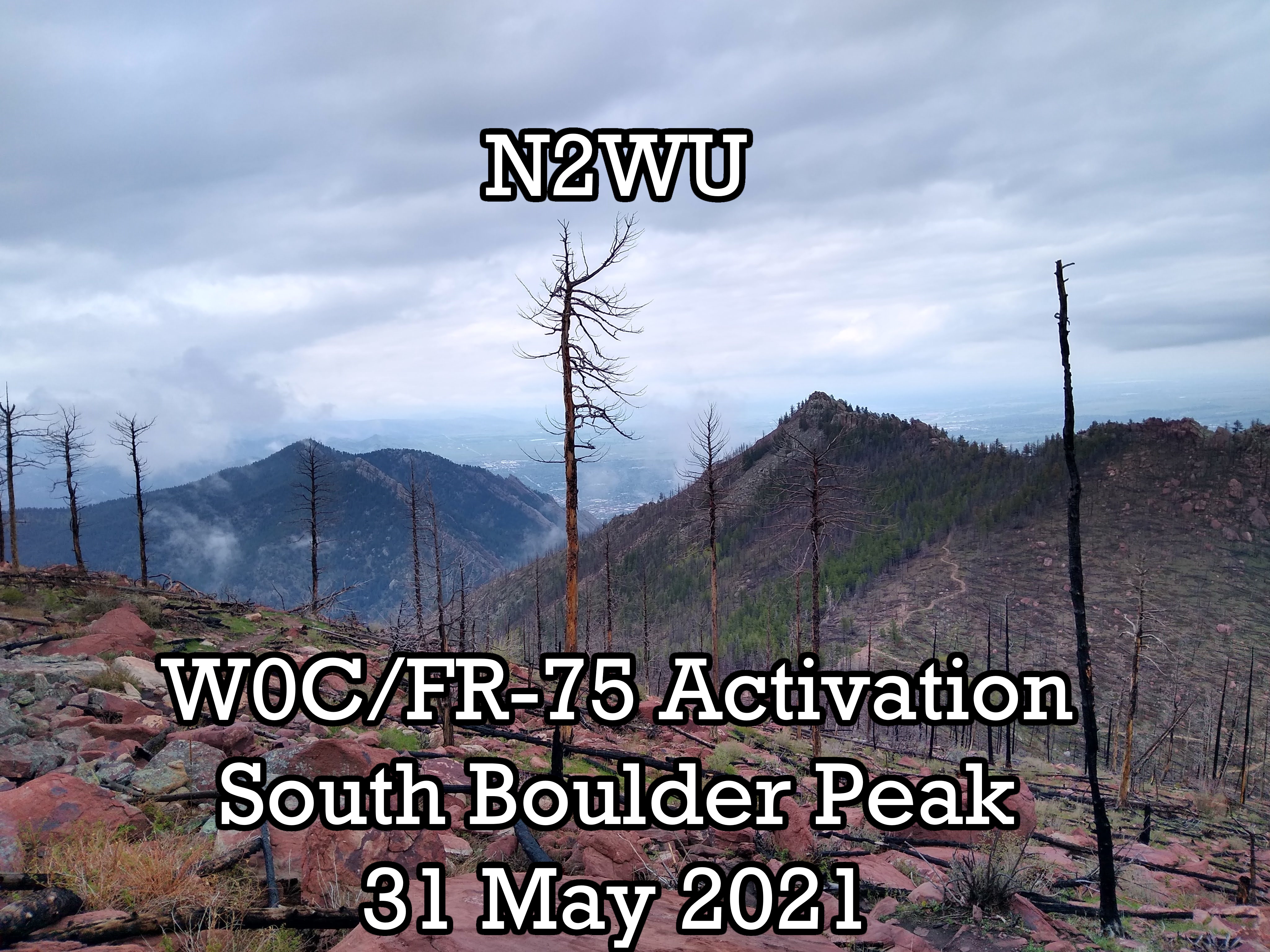 View from the top!
The Summit: South Boulder Peak
South Boulder Peak is a beautiful summit to the south of Boulder. It offers more natural views than Green Mountain! I took the Shadow Canyon trail from this post.,
Equipment
I brought my usual SOTA equipment:
- An Elecraft KX2 with standard CW paddle
- A 5.2 Ah lithium-ion battery
- An APRS-enabled TH-D72a
- My favorite antenna tuner
- A 19-foot mast
- A linked end-fed
- A linked dipole for 10m,20m,40m
- 1L water, warm clothes, and gloves
- A notebook/pen for CW
- Several (40) feet of paracord in different lengths
Total weight - about 12lbs.
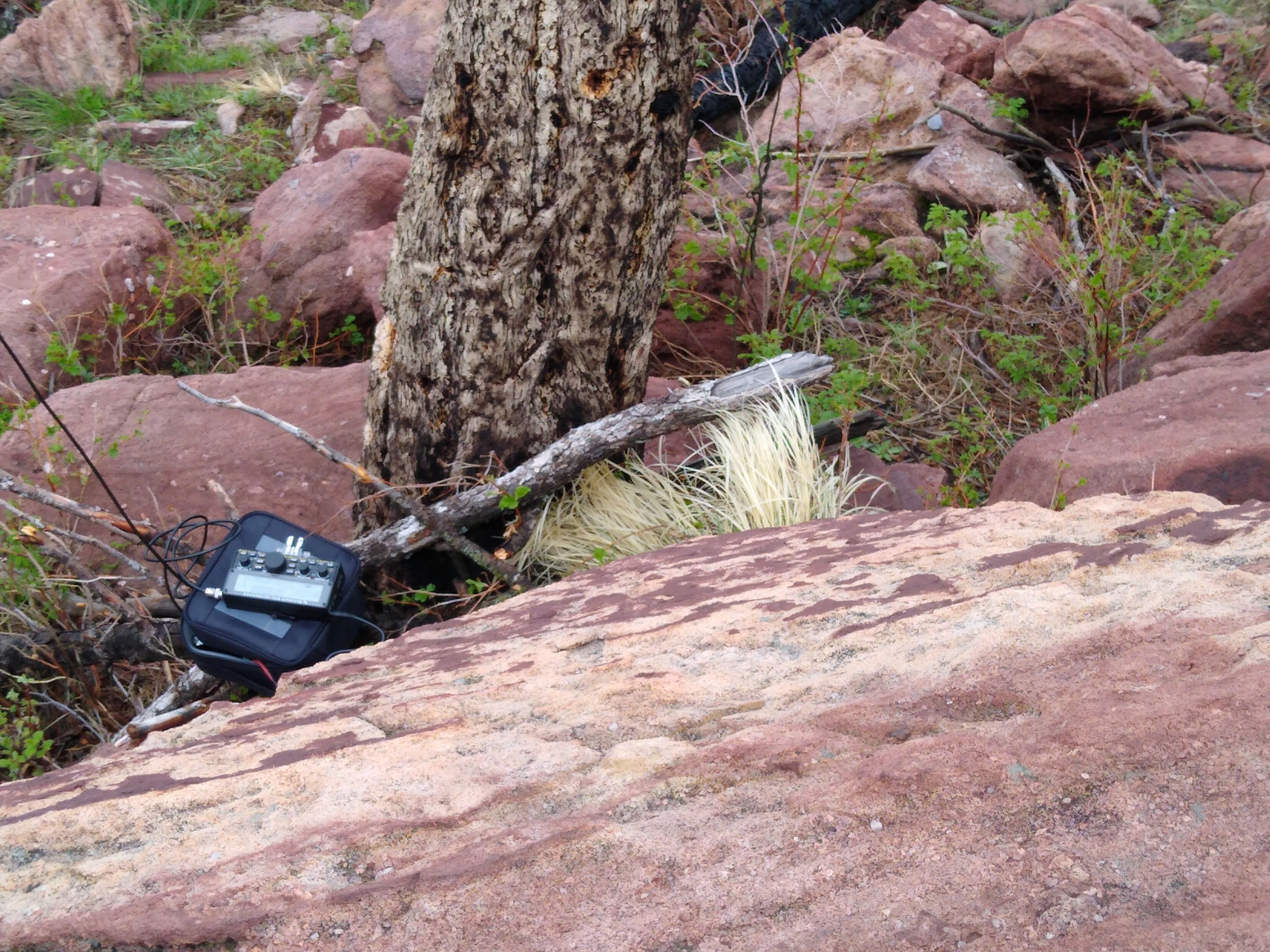 Equipment scattered at the top
Excursion
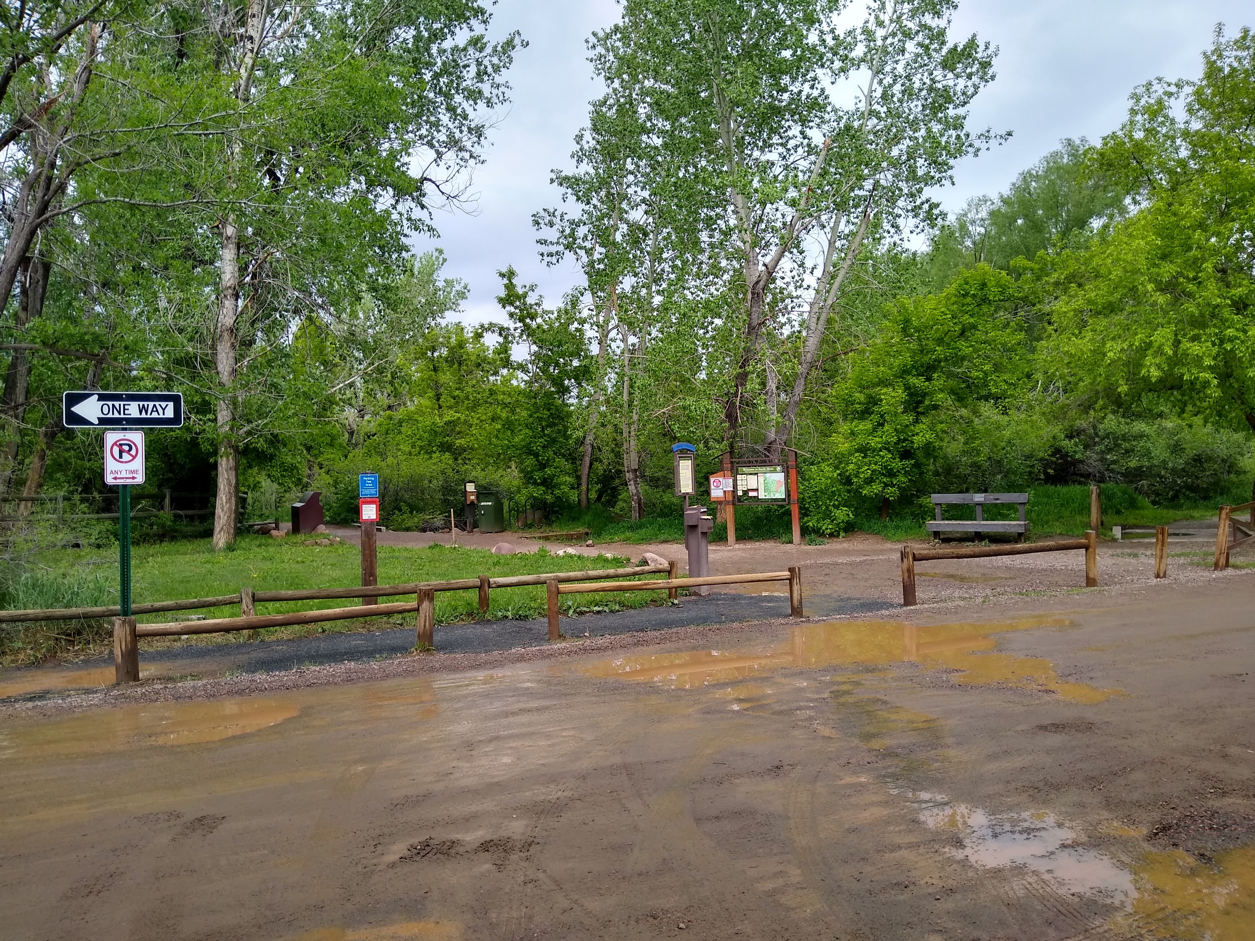 At the start of the South Mesa Trailhead
This was a tough route. The Homestead Trail was easily walkable, but the shadow canyon trail really gave me a run for my money. Thankfully, I rarely bumped into rocks/trees with the antenna mast poking from my backpack.
It allowed for some great views!
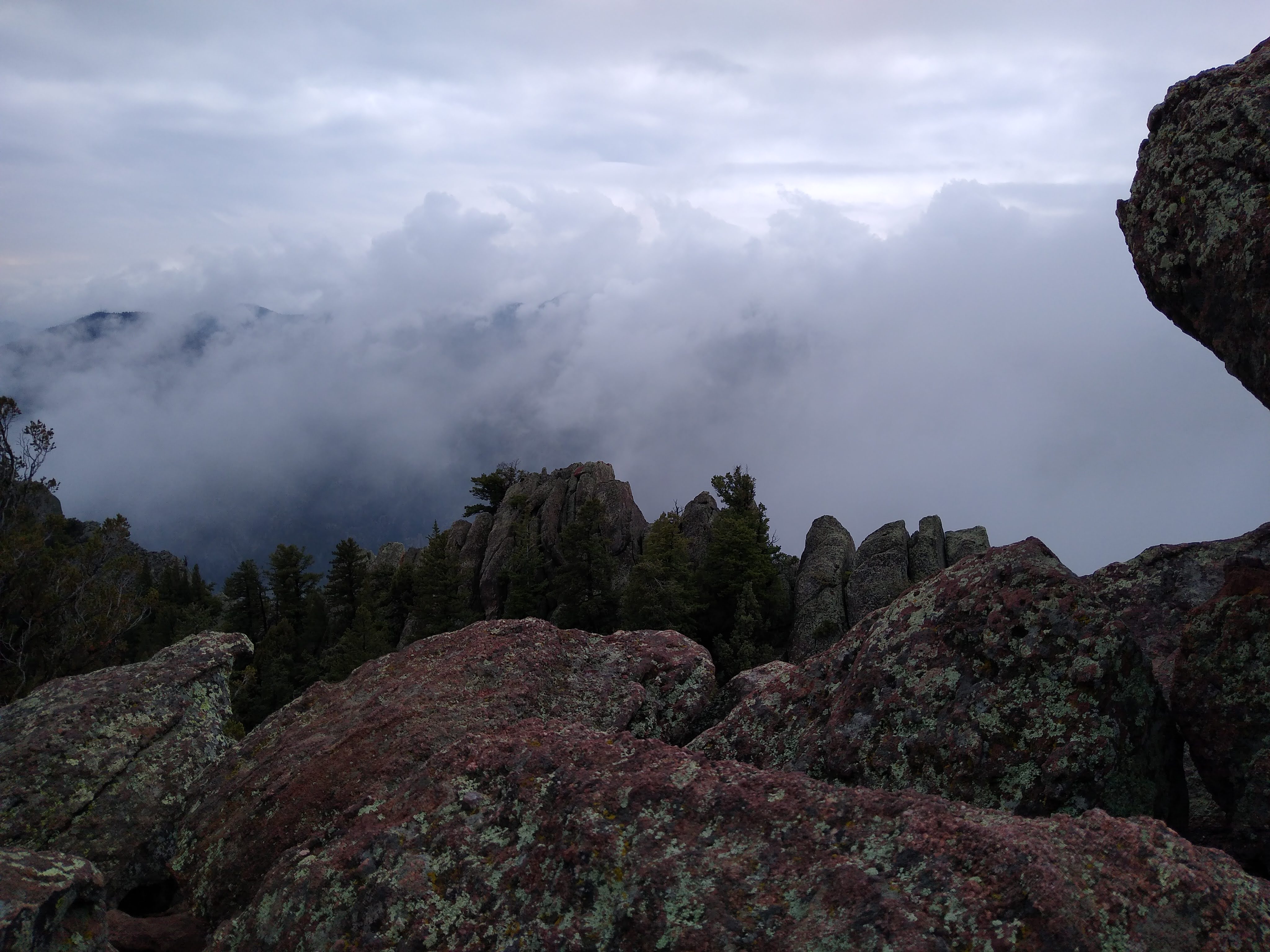
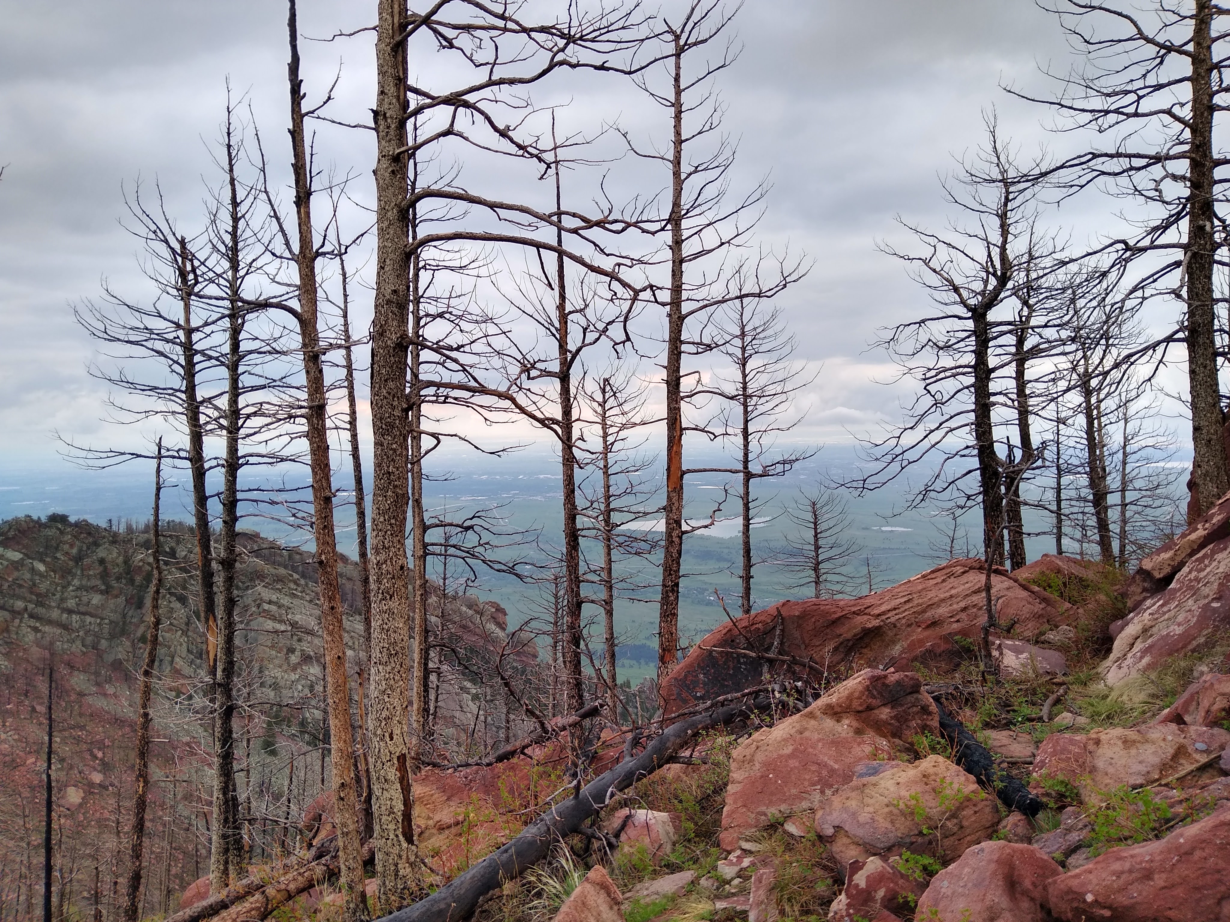 View northeast from the summit
I even had some curious visitors when I was up there:
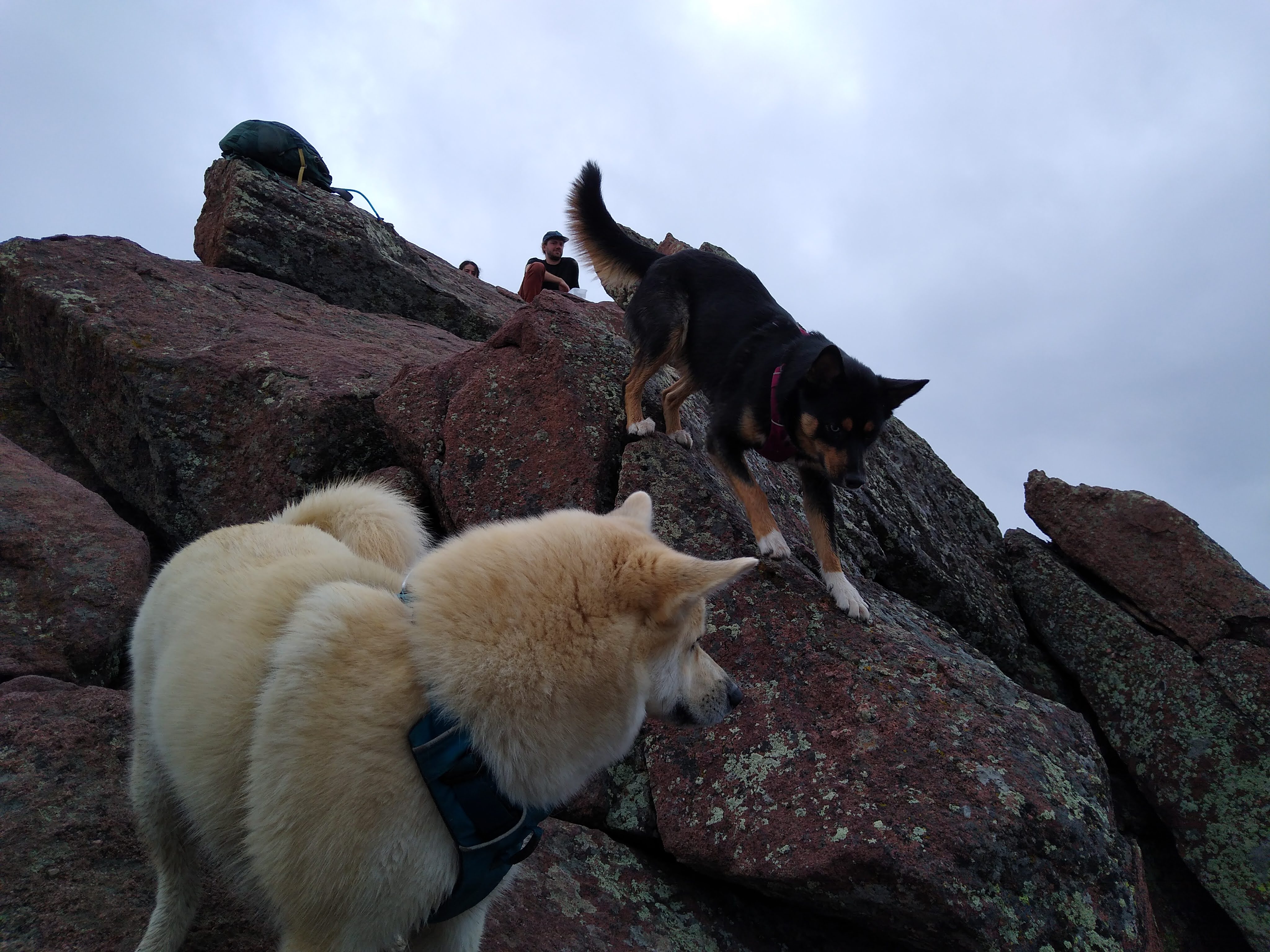 Visitors
Contacts
There were only some jagged rocks and bare trees at the top - I felt if I put up the antenna mast, I wouldn’t have a great strategy for securing it. However, the 30-ft trees were perfect for a lazy dipole with the end-fed. I tied one end to paracord and tossed it as high as I could, then strung it across the entire summit face to a tie-down point at eye level.
 The QRPGuys Endfed barely visible
 The antenna wire strung about 17ft high
I actually got pretty good propagation reports to 6- and 7- land. I made 3 FM simplex contacts and 3 CW contacts. It was pretty cold up at the summit, so I called SK after I got enough contacts to log it.
As I was up there, the weather started drastically improving. Blue skies on the way down!
Conclusion
The descent was slippery, but now I could actually see the trail. On the way up, I saw the forest for the dirt.
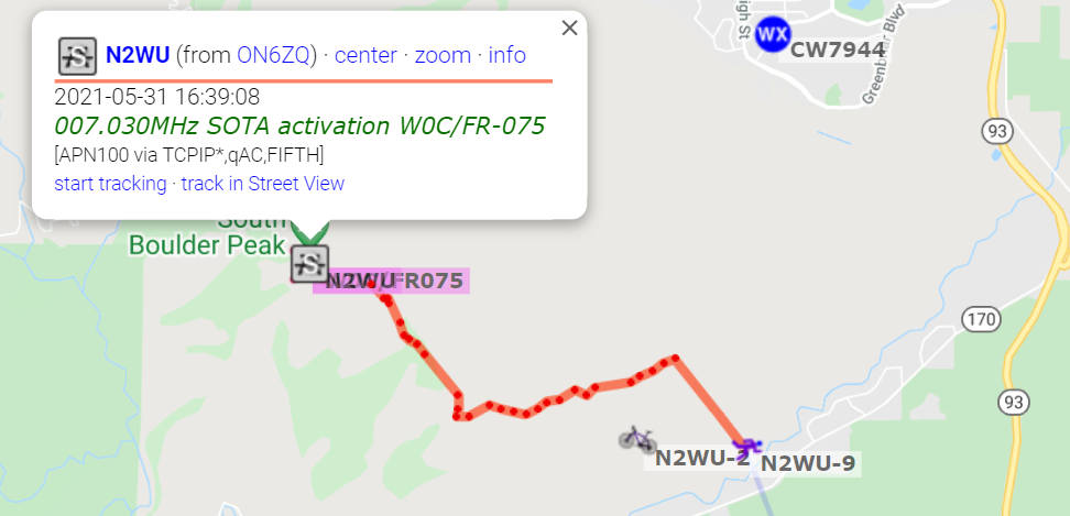 APRS Descent
Overall this was a great activation and I hope to do many more!